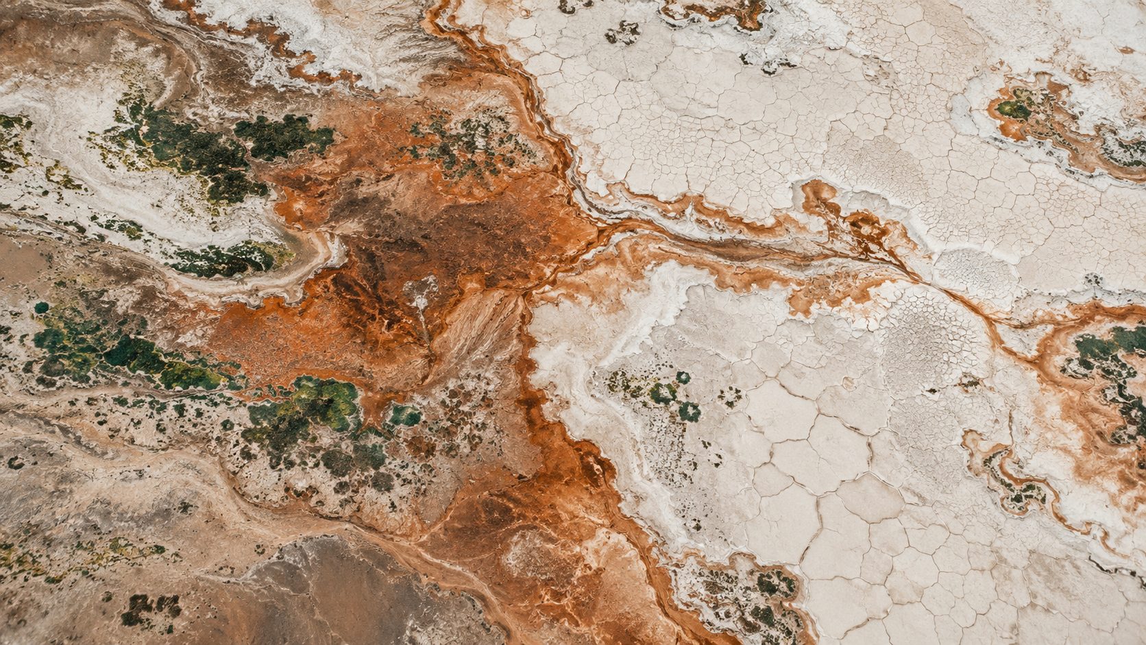
Satellite intelligence for land, water and coast
Know your ground before you dig, plant or build
For farm, agriculture and soil-carbon teams. Take our free five-question check and see where your farm data falls short.
Takes 2 minutes. No cost, no commitment.
91%prediction accuracy
50%+lower cost than traditional methods
5industries on one engine
How it works
See your sites before you send teams out. We combine satellite imagery, drone and lab data into one clear picture of your land, then validate the results against your own samples.
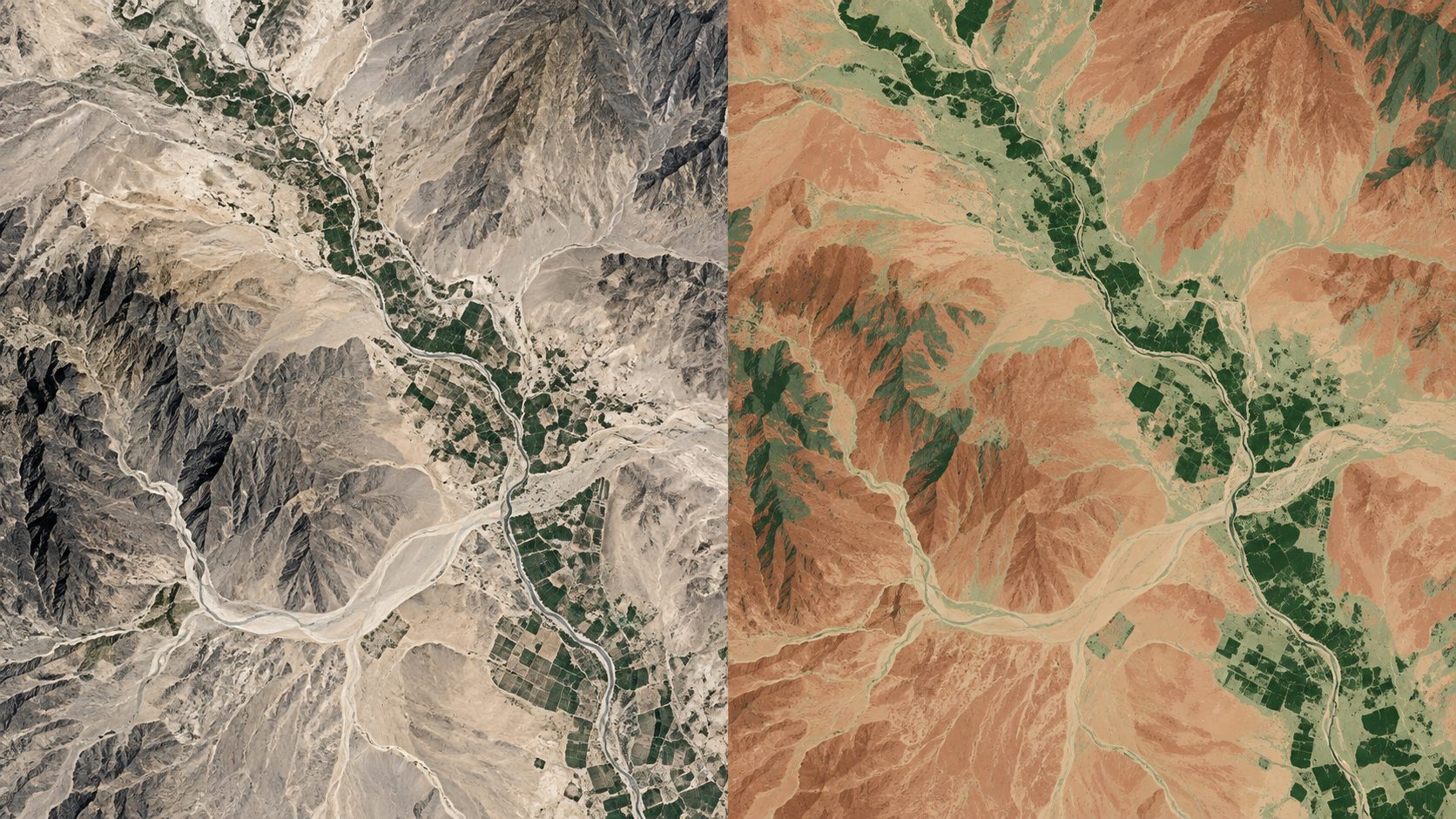
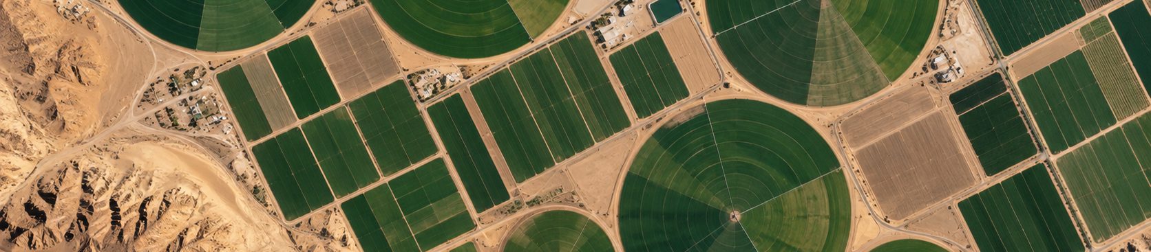
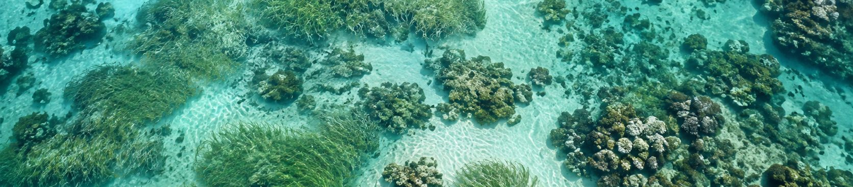
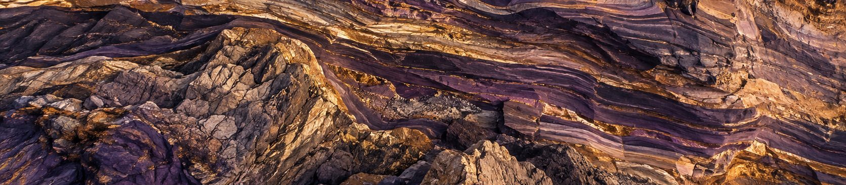
One engine, five industries
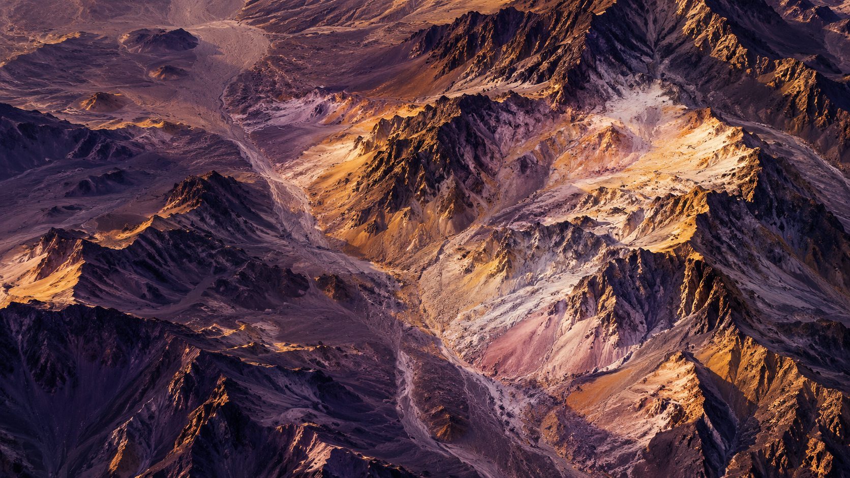
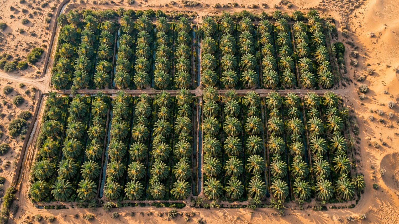
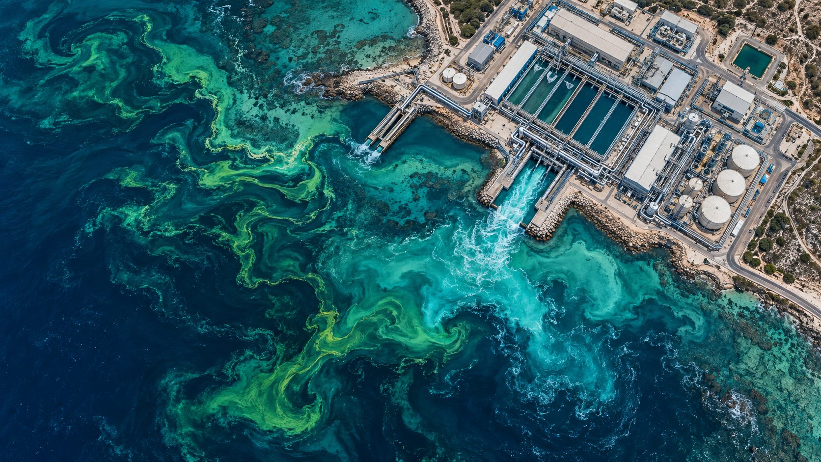
FAQs
Who is this check for?
It is designed for farm, agriculture and soil-carbon teams. TerraSpectral's wider platform also supports mining, water and coastal work.
Does it work on my terrain?
Yes. TerraSpectral started in the desert, but it works on any ground in any region.
How accurate are the results?
We deliver 91% prediction accuracy, and every result is validated against your own samples.